Introduction
Thank you for taking the time to visit the website.
Bloor Homes is preparing an outline planning application for submission to Herefordshire Council for a mixed-use development proposal on Land at Lower Bullingham, to the West of Watery Lane, Hereford.
The proposal forms the first phase of the Hereford 'Southern Urban Expansion' site allocation at Lower Bullingham (as per Policy HD6 of the Herefordshire Local Plan - Core Strategy). This allocation provides for a comprehensively planned sustainable urban expansion which is expected to provide for, among other things, a minimum of 1,000 new homes as well as around 5 hectares of employment land once fully developed.
This emerging planning application for Phase 1 of the allocation will include up to 540 homes and around 5 hectares of employment land as well as a local centre, country park and supporting areas of public open space, with the principal access off the B4399 'Rotherwas Relief Road'.
This website provides initial details on the proposed development, and the opportunity for you to provide your comments on the proposal as part of the pre-application consultation process. We welcome your views, which can be provided via the on-line Feedback Survey at the base of this page.


Our Vision
Our vision for the site is to create a high-quality, landscape-led, sustainable mixed-use development which appreciates and effectively assimilates with the site's surrounding context.
In recognition that Herefordshire Council has identified the site as a suitable location for a sustainable urban extension to Hereford, Bloor Homes is preparing an outline planning application for what would be the first phase of development. At this stage, it is likely the application will comprise up to 540 homes, approximately 5 hectares of employment land, a local centre, public open space including a country park, together with the necessary supporting infrastructure and associated works.
The focus of the design and masterplanning approach is to create a clear identity for the site in the way the new homes are designed and arranged in layout; the attractiveness and accessibility of public open spaces; and the creation of distinctive places such as around community facilities, site gateways, the main avenue, and the new employment area. Importantly, the proposal provides the opportunity to deliver a large amount of accessible green infrastructure and public open space within the site for the existing and new local community.
Movement and connectivity through the site are also key design priorities. Our aim is to create a walkable neighbourhood with safe and pedestrian friendly streets. New footpath and cycle links are proposed leading to employment areas and new parks and onward to other destinations in Hereford City Centre.
As well as engaging with the local community on this proposal, Bloor Homes has been actively engaging in pre-application discussions with Herefordshire Council's Planning and Highway departments ahead of the submission of a planning application.
The following sections provide further detail on the emerging proposal and the Feedback Survey at the base of this page provides an opportunity for you to have your say.

Site Details
The site is situated to the south of Lower Bullingham and the Welsh Marches railway line. It is also located approximately 2.1km to the south of Hereford city centre.
Most of the site is currently in arable agricultural use, although there are some existing agricultural/industrial buildings located within the boundary of the site, to west of Watery Lane.
The total site area equates to approximately 104 acres (42 hectares). The site is roughly divided into four land parcels as follows:
- The largest land parcel is situated south/west of Watery Lane and the Rotherwas Industrial Estate, and to the north of the B4399 'Rotherwas Relief Road'. The Red Brook runs centrally through the parcel. To the south there is further agricultural land which forms part of the wider allocated Urban Expansion site. The 'red line' application site boundary also extends from this parcel across Watery Lane to Twyford Road to provide for a new bus / cycle / pedestrian connection to the Rotherwas Industrial Estate.
- A further land parcel is situated between Green Crize / Hoarwithy Road and Lower Bullingham Lane; to the west of the largest land parcel contained within the boundary for the proposed development. This land parcel lies directly south of the railway line which separates this part of the site from the existing built-up area of Lower Bullingham.
- An additional area is situated south-west of the largest land parcel, which is proposed as a possible new Country Park. This land parcel is situated on rising ground to the west of the rear gardens of existing dwellings along Hoarwithy Road and to the east of Norton Brook. The B4399 is situated further south.
- Finally, a very small area of land is also included in the red line to the south of the railway line and to the west of Watery Lane to allow a vehicle-by-pass facility on Watery Lane for use by residents along the lane in time of flood.

Masterplan
The Indicative Masterplan has been designed to respond to the site's constraints and opportunities as well as the technical work that has been undertaken to date. At this stage, the key elements of the indicative masterplan include:
- Up to 540 new homes.
- Around 5 hectares of employment land located adjacent to the Rotherwas Enterprise Zone.
- A Local Centre comprising local retail, community uses and a mobility hub. The mobility hub could include bus stop(s), electric car club, electric vehicle charging, bike hire, delivery lockers and a local information point.
- An abundance of public open space including new parkland along the Red Brook, attenuation basins and a corridor of open space over the Rotherwas Ribbon archaeological site within the employment area.
- Two local neighbourhood greens that also include Local Equipped Areas for Play.
- Neighbourhood Equipped Area for Play in proximity to existing homes and easily accessible by active travel routes.
- A Country Park located to the west of Green Crize alongside the Norton Brook. The park could potentially comprise of informal trails, new tree and wildflower meadow planting and seating / picnic areas.
- A bus route connecting residential areas to the Rotherwas Enterprise Zone and through the site to Green Crize.
- A network of cycle and footways through public open spaces, along retained public rights of way and alongside the main spine street.
- Main vehicular access off the B4399 'Rotherwas Relief Road' with a second restricted access to around 100 homes off Green Crize which will only provide a through route to the rest of the site and onward to Rotherwas for buses and emergency vehicles.


Design and Placemaking Principles
The Illustrative Masterplan has been developed in consideration of the design policies of Herefordshire Council but also the key characteristics of the National Design Guide. The key design principles are as follows:
- A development that is shaped by an understanding of the context both from an interpretation of wider townscape character and how that can be applied to new homes and public spaces on the site, but also a review of site context. This includes analysis of water management, ecology, landscape features, highways and points of connection as well as any further qualities of the site to ensure the new development sits sensitively within its surroundings.
- A focus on creating a clear identity for the site in the way new homes are designed, the attractiveness of public open spaces and the creation of distinctive places such as around community facilities, site gateways, the main spine road avenue and the new employment area.
- Provision of different building types and development densities to be applied across the development. For example, places such as the main spine road avenue, green squares and the local centre which will be more compact and dense. Whereas around the rural edge, parkland areas and public open spaces a looser form and lower scale of development will allow houses to fit more sensitively within the landscape.
- Movement and connectivity through the site are key design priorities. Our aim is to create a walkable neighbourhood with safe and pedestrian friendly streets. New footpath and cycle links are proposed leading to employment areas and new parks and onward to other destinations in Hereford City Centre.
- Designing a healthy place for residents and visitors. An extensive and accessible approach to nature and biodiversity with a number of parks, green squares, a large Country Park to the west of the site and other green corridors passing through the development. This green network will accommodate areas for biodiversity, children's play areas, new planting and woodland, and places for informal recreation.
- Provision of a mix of uses to deliver a truly sustainable urban extension to the south of Hereford. Within the heart of the site there is a local centre which will feature community facilities and potentially some local retail such as small shops or café. To the east of the site there is also a significant amount of new employment uses that will complement the neighbouring Rotherwas Enterprise Zone and will be easily accessible from the new housing areas by sustainable means of transport.
- Responding to the impacts of climate change by being energy efficient and minimising carbon emissions. All new homes will be designed to meet the Future Homes Standard, for movement around and off the site to be focused on active travel options especially bikes and walking. But also, to have a walkable neighbourhood that provides many of the requirements for everyday living such as employment, local convenience shops and a variety of community facilities and services.


Public Open Space and Green Infrastructure
The proposed development includes around 45 acres (18 hectares) of Green Infrastructure and new public open space which equates to around 43% of the entire site. It is intended that this provision will contribute towards enhancing biodiversity, health, and well-being for the benefit of the existing and new local community.
Bloor Homes would like to work with the local community to establish the possible use of these new, publicly accessible spaces, and we welcome suggestions on the Feedback Form provided. At present, our thoughts on the provision of the new public open space include:
- New areas of linear parkland in the north of the site and along the Red Brook corridor.
- Two local neighbourhood greens that also include Local Equipped Areas for Play.
- A Neighbourhood Equipped Area for Play located in proximity to existing homes and easily accessible by active travel routes (walking and cycling).
- A Country Park of approximately 15 acres (6 hectares) off Hoarwithy Road likely to comprise informal trails, planting and seating. This Park could be accessed from Lower Bulligham Lane, which could potentially be closed off for vehicular traffic and converted to a 'Green Lane' for walkers and cyclists.
The development also presents opportunities to enhance pedestrian and cycling connectivity and access, including new pedestrian and cycle paths through the proposed public open spaces, along retained public rights of way and alongside the proposed main spine road.
In addition, the proposal will deliver at least 10% biodiversity net gain on site, through the enhancement of existing ecology habitats, as well as the creation of new habitats.
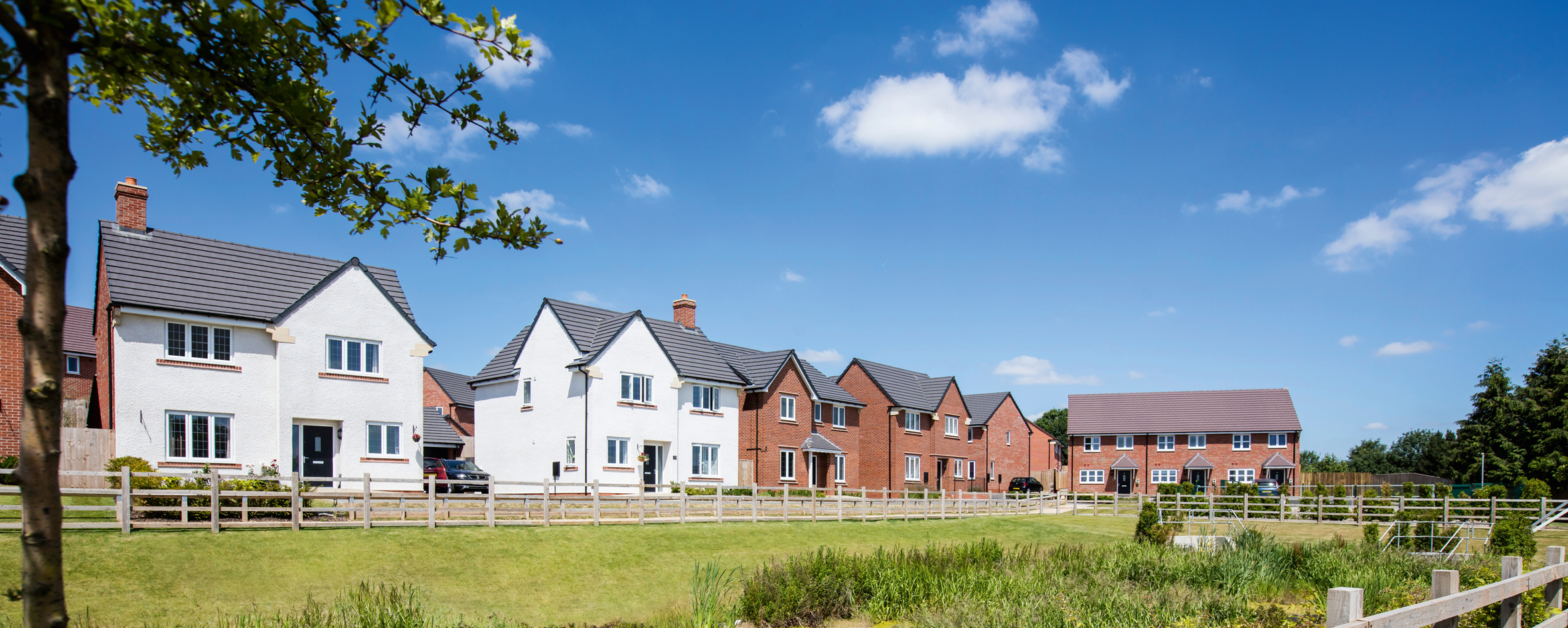
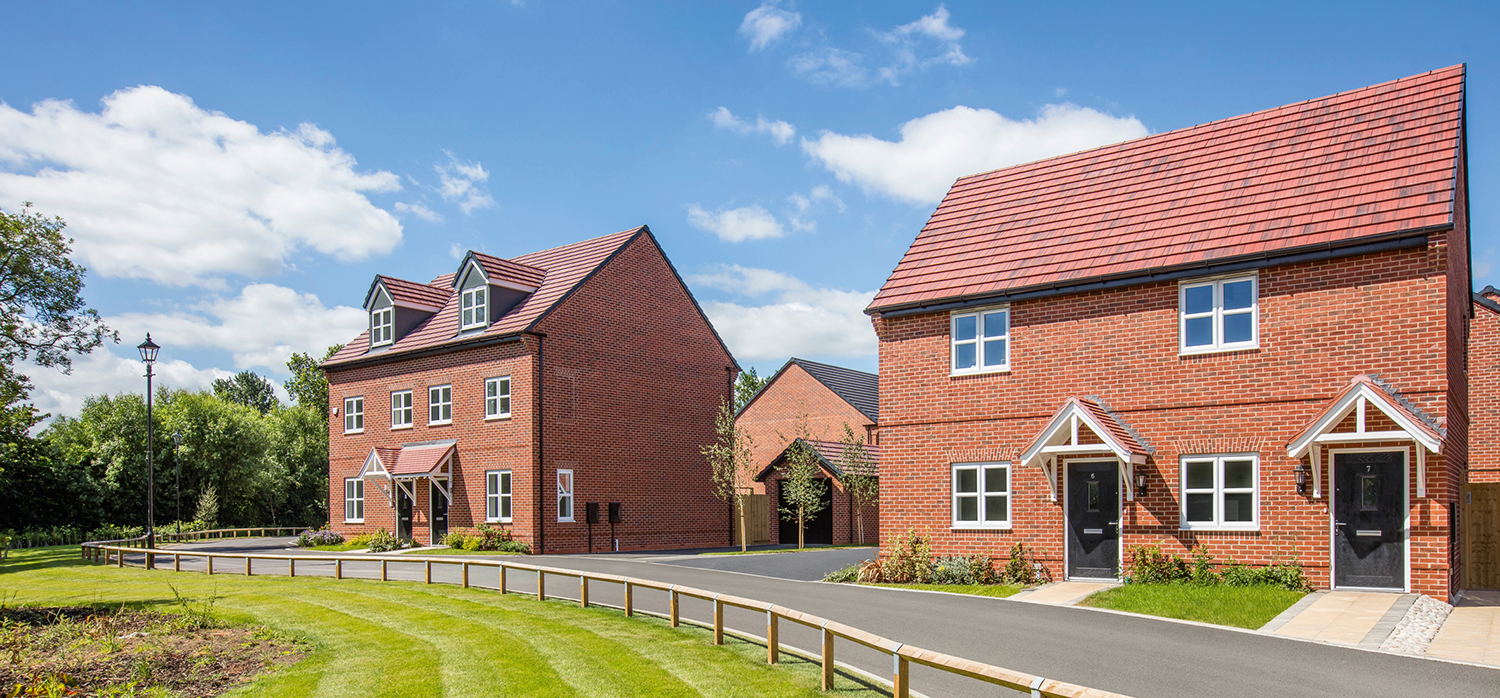
Gallery
Artistic impressions of how the development could look.


Next Steps
Feedback Survey
The website is now closed to on-line comments. Thank you for all responses received throughout December 2023, all of which will be reviewed by Bloor Homes prior to submission of the outline planning application.
We are a 5 star builder
Since 1969, we've always gone above and beyond for our customers. We do this by caring for you as much as we care about crafting the finest homes. For the fourth year running we have gained 5 star status for Customer Service by HBF, which is why 95.3% of our customers would recommend us.